

construction suveys
- Details
- Category: surveying services
- Last Updated: Wednesday, 23 March 2016 08:52
- Hits: 7658
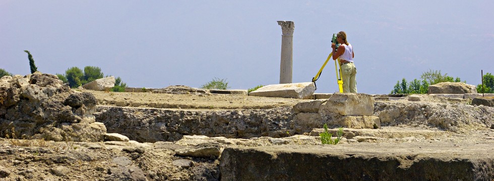
During the construction phase it is required to conduct as build surveys and at the end final survey. TLC uses laser systems, hypsometers, conventional total stations, robotic instruments or global positional systems (GPS) to conduct construction surveys.
mapping
- Details
- Category: surveying services
- Last Updated: Tuesday, 09 August 2022 20:32
- Hits: 6583
TLC offers basic topographic and thematic mapping. Working with our associates, we can also provide GIS, Digital Mapping, Web Based Mapping and Remote Sensing type mapping.
mineral exploration surveys
- Details
- Category: surveying services
- Last Updated: Wednesday, 23 March 2016 08:50
- Hits: 7247
The collection of data using survey equipment is a common practice during various phases of mining exploration. This includes surveying drill holes, water gauges, mass volumes, access roads, camp locations and airstrip locations.
site surveys
- Details
- Category: surveying services
- Last Updated: Wednesday, 23 March 2016 08:50
- Hits: 7387
Site Surveys involve collecting information that will aid the designer in understanding as much as possible about the site. During the site survey phase, professionals are required to conduct adequate measurements and data collection.
topographic surveys
- Details
- Category: surveying services
- Last Updated: Wednesday, 23 March 2016 08:49
- Hits: 7197
Before airports, bridges, access roads and other engineering structures are designed, a Topographic Survey is required. TLC accommodates such needs by using laser systems, hypsometers, conventional total stations, robotic instruments or global positional systems (GPS).